
Site work estimating for every line on the site plan.
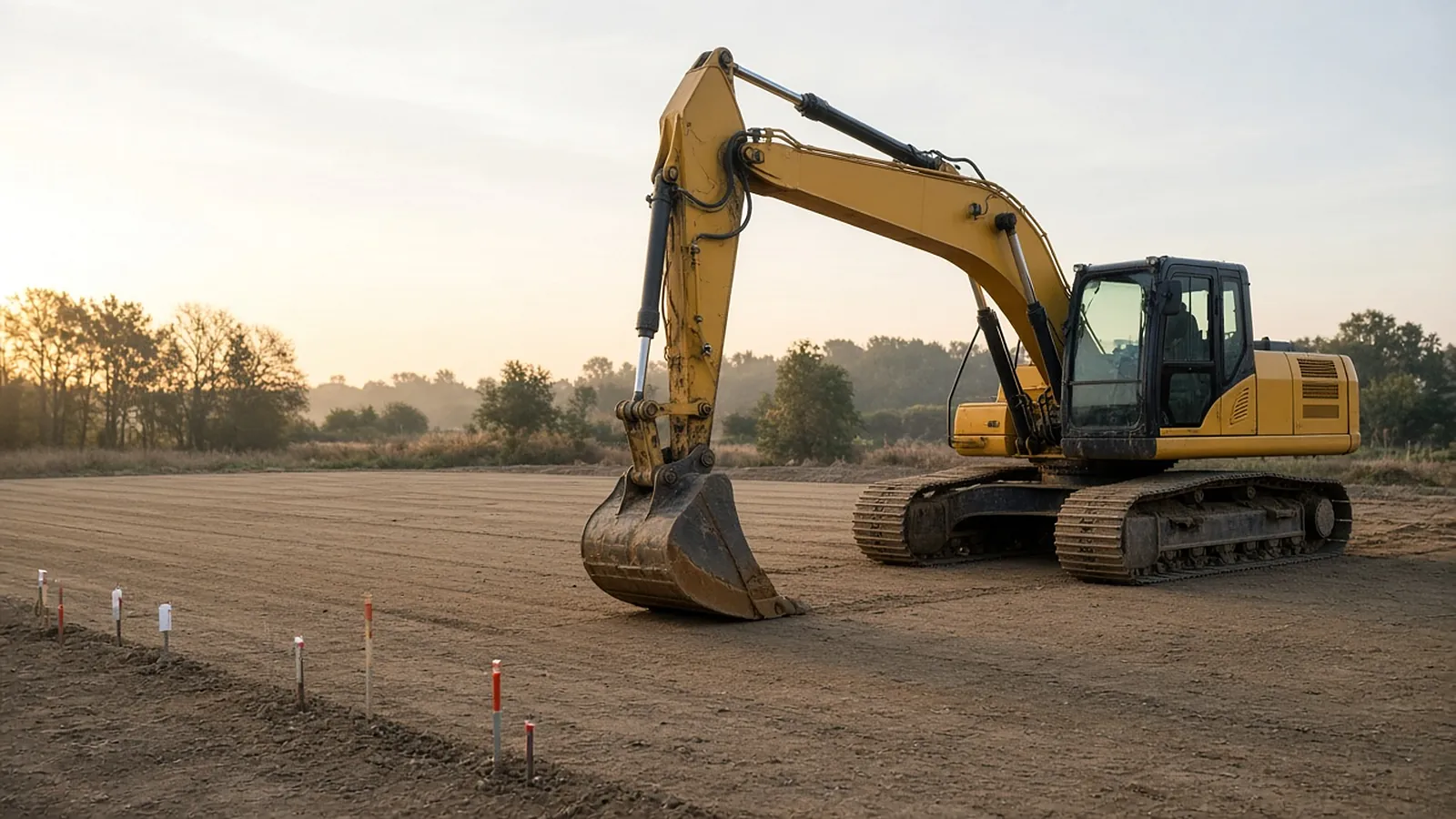
Site work bids pull a dozen scopes from a handful of sheets: earthwork, paving, curb, sidewalks, utilities, site concrete, fencing, striping and landscaping. No single tool does all of it well. Earthwork belongs in surface-modeling software, unit-price estimating in an estimating system, and the many plan-based counts and lengths in a takeoff tool. This guide maps the tools to the jobs.
Send one plan set. See what the AI extracts and what it flags for review. No obligation.
- Earthwork vs. plan takeoff
- Tools by job
- Questions to ask
- Source on every row
What gets quantified
| Item | Unit | Source | Typical tool |
|---|---|---|---|
| Earthwork cut/fill, strata, topsoil | CY | Existing/proposed surfaces, CAD, survey, borings | Earthwork software |
| Paving by section | SY, tons | Paving plan, typical sections | Takeoff or earthwork software |
| Curb and gutter | LF by type | Site plan | Plan takeoff |
| Sidewalk and site concrete | SF, CY | Site plan, details | Plan takeoff |
| Storm, sanitary, water | LF by size, material and depth; structures EA | Utility plans, profiles | Trench module or plan takeoff + profiles |
| Fencing and gates | LF, EA | Site plan | Plan takeoff |
| Striping and signage | LF, EA | Striping plan | Plan takeoff |
| Erosion control | LF, EA, acres | SWPPP/ESC sheets | Plan takeoff |
| Landscaping | SF, EA | Landscape plan | Plan takeoff |
Matched to the job
| Need | Examples (verified product pages) | What they do |
|---|---|---|
| Earthwork and mass haul from CAD, PDF or survey | Trimble Business Center (Construction subscription), Carlson Takeoff, AGTEK (Hexagon) | Surface models, cut/fill, subgrades, strata, mass haul; Carlson and TBC also digitize PDFs and handle trench quantities |
| Heavy civil estimating and bid pricing | HCSS HeavyBid | Crew/equipment production-based costs, historical estimates, bid analysis |
| Plan-based counts, lengths and areas | General on-screen takeoff tools; AI-assisted takeoff such as RenderDraw | Curb, walks, fencing, striping, structures, erosion control, with markups or source links |
Carlson says Takeoff calculates volumes from 3D triangulated surfaces, supports shrink/swell factors, and reports trench cut and backfill with pipe footage by size and material. Trimble lists quantity takeoff and mass haul analysis in TBC's Construction subscription. Pricing for these tools is quote-based or by subscription tier, so confirm current pricing with each vendor.
Questions to ask
- Your input data: do you usually get CAD and surfaces, or only PDFs? PDF-only jobs need digitizing tools.
- Machine control: if you build 3D models for GPS grading, TBC, Carlson and AGTEK all prepare field data. Check that the tool supports your machine control brand.
- Unit-price vs. lump-sum: public unit-price work needs bid item mapping and quantity over/under-run analysis.
- Integration: can takeoff quantities move into your estimating system without retyping?
- Training: surface-modeling tools take real training. Budget for it.
Where site bids go wrong
- Pricing utilities by plan length without reading depth from the profiles.
- Missing pavement restoration over utility trenches.
- Ignoring the geotech report (rock, groundwater, unsuitable soils, reuse of on-site material).
- Scope gaps between the sitework, concrete, landscape and fence subs (who carries curb, site walls, irrigation sleeves).
- Erosion control maintenance and removal over the job's duration, not just installation.
Limits
Small residential site jobs may not justify surface-modeling software, and a plan takeoff tool plus your own spreadsheet may be enough. Large heavy civil jobs usually need both earthwork software and a production-based estimating system.
From plan set to reviewed quantities.
AI-powered, human-approved. Each stage records what ran, what changed and who approved it.
Start with your bid package
Drawings, specs and addenda together: site, grading, paving and utility plans with profiles, typical sections and the civil spec or standard details.
AI proposes quantities
Counts, lengths and areas come back with the source sheet and location attached to every row.
Estimator review
Low-confidence items surface first. Your estimator accepts, corrects or rejects each one.
Map to your assemblies
Approved quantities map to your items, assemblies and estimating assumptions.
Price reviewed rows
Labor units, material pricing and supplier quotes apply only to rows that passed review.
Hand off with evidence
Reviewed quantities move on to your estimate, catalog or quote workflow with the source trail still attached.
Supported files and tasks depend on your trade and implementation. Confirm them in the free sample run.
The AI drafts. Your estimator decides.
Speed is easy to promise. Defensible numbers are the job, so RenderDraw keeps the estimator in control of every quantity that gets priced.
- Source on every row. Each quantity keeps its source sheet, location and reviewer decision.
- Lowest confidence first. The review queue shows the drawing tile with the detection highlighted and the extracted value.
- Uncertain items flagged, not hidden. Anything the AI can't confirm goes to the estimator rather than being guessed.
- Nothing priced before approval. Rows move on to pricing only after they are accepted.
Plan-based scopes, reviewed by you
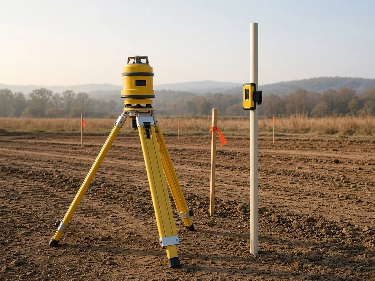
RenderDraw's AI takeoff proposes the plan-based site quantities (curb, walks, fencing, striping, structures, erosion control items and pipe runs) with the source sheet attached to every row. Low-confidence items go to the estimator for review. It is not a surface-modeling earthwork tool. Get a free sample takeoff or book a demo.
Questions estimators ask.
What is the best site work estimating software?
It depends on the job. Earthwork from surfaces needs tools like Trimble Business Center, Carlson Takeoff or AGTEK. Heavy civil pricing often runs in HCSS HeavyBid. Plan-based counts and lengths fit an on-screen or AI-assisted takeoff tool.
Can I do earthwork takeoff from PDFs?
Yes, with digitizing tools. Carlson Takeoff and Trimble Business Center can turn PDF contours and linework into surfaces, but CAD or survey data is more accurate.
What's in a site work estimate?
Earthwork, paving, curb and walks, utilities, site concrete, fencing, striping, erosion control, landscaping, and items such as traffic control and testing.
Does RenderDraw calculate cut and fill?
No. RenderDraw focuses on plan-based quantities with source links. Use earthwork software for surface-to-surface volumes.
How much does site work estimating software cost?
Most vendors in this category quote pricing or sell by subscription tier. Ask for a three-year cost including training and maintenance.
See what the AI reads on your own drawings.
Send one representative sitework plan set. RenderDraw reviews it and follows up with what the AI extracted and what it flagged for review. Your files remain private while the request is assessed, and there is no obligation.
- Upload site, grading, paving and utility plans with profiles, typical sections and the civil spec or standard details.
- RenderDraw reviews the set and the scope you want tested.
- We follow up with extracted quantities, flagged items and next steps.
Where these numbers come from
We checked this guide against the standards, manufacturer documents and industry references below (last reviewed November 2026). Figures marked as rules of thumb are typical ranges, not requirements; your project documents, local code and your own cost history govern.
- Trimble Business Center for civil construction
- Trimble Business Center subscription options — Construction tier includes quantity takeoff and mass haul
- Carlson Takeoff
- AGTEK products
- HCSS HeavyBid